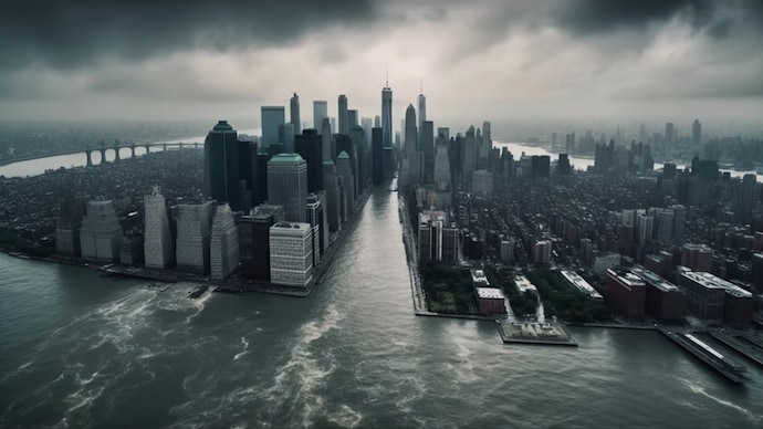
New York City is sinking due to a combination of climate change, rising sea levels, and the city’s own growing weight of skyscrapers that span its skyline. Coastal cities are becoming increasingly vulnerable as the world warms and sea levels rise.
According to researchers, the combination of construction densification and sea level rise means a rising risk of inundation. This causes a peculiar phenomenon known as subsidence, also known as sinking. A similar phenomenon was recently observed in the town of Joshimath, Uttarakhand, India, where houses developed enormous fissures.
Researchers emphasized how New York City faces escalating inundation danger from sea level rise, subsidence, and rising storm intensity from natural and anthropogenic causes in a paper published in the journal Advancing Earth and Space Science.
Using New York City as an example, the researchers demonstrated how the problem affects coastal towns around the world.
“New York is emblematic of growing coastal cities all over the world that are observed to be subsiding meaning there is a shared global challenge of mitigation against a growing inundation hazard,” researchers from the Graduate School of Oceanography, University of Rhode Island, said in the paper.
Sinking and flood risks in New York City: Implications for future development and flood mitigation
New York City, which has a population of eight million people, is sinking at a rate of 1-2 millimeters each year, with some neighborhoods falling much faster. The surface geology of New York City is a complex glacial terrane made of silt, sand, and clay lake deposits, glacial moraines, and outwash.
The city already faces considerable flood threats, as the threat of sea level rise is three to four times greater than the global average along North America’s Atlantic coast.
“Post-glacial isostatic effects are projected to cause between 500–1,500 mm of subsidence by 2100,” the paper read.
The team estimated the mass of individual buildings and stated that the purpose of the paper was to raise awareness that every additional high-rise building built along a coast, river, or lakefront could contribute to future flood risk and that mitigation strategies may be required.
Urbanization and increasing flood risks: Challenges for New York City’s coastal and riverfront areas
Researchers used mass calculations on a million structures to generate the city’s load profile, but it was impossible to know the exact foundation of each of these buildings.
The city has already been devastated by two hurricanes that pushed water inwards. In 2012, Hurricane Sandy forced seawater into the city, whereas heavy rainfall from Hurricane Ida in 2021 overwhelmed drainage systems. Researchers warned that urbanization can further exacerbate the problem
“The combination of tectonic and subsidence, sea level rise, and increasing hurricane intensity imply an accelerating problem along coastal and riverfront areas,” the paper read.
