


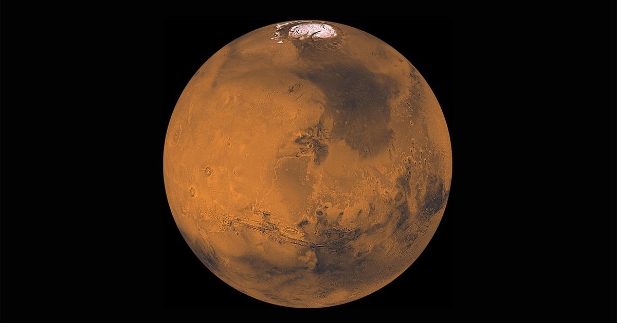
Using the wealth of information gathered by NASA’s Mars Reconnaissance Orbiter, a team at the USGS Astrogeology Science Centre created a map of the planet Mars. With the newly created map of Mars, observing the Martian environment will be much easier than previously and even mobile devices will be able to navigate through it.
The new map, which was created with the use of supercomputers and cloud computing, will provide users a high-resolution, three-dimensional view of Mars’ unearthly landscape.
The map was created by a team at the USGS Astrogeology Science Centre using more than 155,000 pictures of the red Martian landscape and over 4,800 digital terrain models (DTMs).
“Now anyone on the planet with a smartphone can search, use and marvel at these data,” stated = team leader Jay Laura, of the Astrogeology Science Centre (ASC), in a statement.
“These data are important because they democratize the availability of high-quality Mars topographic data,” added Laura. “Getting consistent, well-aligned results is not easy. We felt it was important to generate and release these products so that others could freely access the data. When these data are highly accessible, anyone can contribute to scientific discovery,” he stated.
The Mars Reconnaissance Orbiter’s (MRO) Context Camera obtained data on Martian topography
The Mars Reconnaissance Orbiter’s (MRO) Context Camera obtained data on Martian topography, which the team utilized. The MRO Context Camera can cover an area of approximately 18.5 miles (30 kilometers) in width and 100 miles (160 kilometers) in length, and it can take pictures with a resolution of around 6 meters per pixel.
The scientists then used a supercomputer to analyze two photos of a similar area and construct a detailed 3D perspective to create the DTMs.
“The process is similar to how visual data collected by both our eyes is processed by the brain to generate our sense of depth perception and create a 3D picture of our surroundings,” team members stated.
Speaking about the data used to create maps, Laura said, “These data are ripe for discovery and use by machines and humans. This data release means that the HiRISE data set can now be seamlessly leveraged by machine-learning scientists.”
The data is hosted by Amazon’s Open Data Registry and is available for access by anybody. The USGS has made available search options for users in order to make sure that the data is simple to locate and download for the general public.
“With data releases like this, USGS is taking the lead to develop and release analysis-ready planetary science data,” Laura stated.