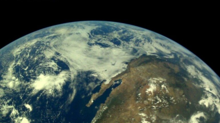
The first photographs of Earth taken by OceanSat-3A or EOS-06 have been made public by the Indian Space Research Organisation (ISRO). On November 29, the National Remote Sensing Centre in Shadnagar received the first photographs. This is a satellite photo of Gujarat and its surroundings. (Image from Twitter/@ISRO)
PSLV-C54: ISRO has made available photos taken by OceanSat-3A of the Arabian Sea, Gujarat Kutch region, and the Himalayan region. This is how Gujarat and its environs are portrayed.
PSLV-C54: Using the Ocean Colour Monitor (OCM) and Sea Surface Temperature Monitor (SSTM) instruments, OceanSat-3A has taken pictures of Earth. The first photographs of Gujarat and its surroundings taken by OceanSat-3A are shown here in the hands of government representatives. Indian satellite OceanSat-3A was created to support the possibility of further applications and to ensure service continuity for operational users of the OCM sensor on OceanSat-2. (Image from Twitter/@ISRO)
PSLV-C54: In the presence of Dr Prakash Chauhan, director of NRSC, and Shri M. Sankaran, director of the U.R. Space Centre, OceanSat-3A photos were virtually released by S. Somanath, chairman of ISRO. ISRO launched OceanSat-3A along with eight nano-satellites on November 26, as part of the PSLV-C54 of EOS-06 mission. The main objectives of OceanSat-3A are to study surface winds and ocean surface strata, monitor phytoplankton blooms, study suspended sediments and aerosols in the water, and observe chlorophyll concentrations.
The third flying unit of the OceanSat programme, OceanSat-3A, has as its primary objective ocean observation. The 960-kilogramme satellite has been launched into a sun-synchronous orbit. OCM, SSTM, Advanced Data Collection System (A-DCS), and Scatterometer for OceanSat-3 are the payloads of OceanSat-3A. The instruments are expected to continue to function after 2030.
