

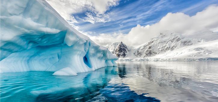

A team of researchers detected water equivalent to the volume of a reservoir that is several hundred meters deep under the West Antarctic ice sheet. Read ahead to know more about the discovery.
Water under the Arctic sheets: What does it mean?


Experts had long suspected that this groundwater was there, but this is the first time we’ve really been able to detect it. Water was discovered in sediments that are situated below a part of the West Antarctic ice sheet – the Whillans Ice Stream. However, scientists believe that there is more water under Antarctic ice sheets elsewhere across the region. Hence this can be an important result to the question of how the white continent reacts to a warmer world, the study published in the journal Science digs deep into the burning questions.
Water at the base of ice streams and glaciers is for lubricating their movements. However, the transfer of water into or out of these reservoirs can either slow or fasten the speed of ice flow.
The water was first detected by Dr. Chile Gustafson’s team from the Scripps Institute of Oceanography in San Diego. “Deep sediments were ancient ocean muds and sands that became saturated with salty seawater thousands of years ago when the West Antarctic Ice Sheet was much less extensive than it is today,” stated Dr. Gustafson. The water was found about 500-2,000 meters under the groundwater. Here, sand and ancient mud are jam-packed between the basement rock and the ice stream.
More on the discovery
“These sediments I like to think of like a giant sponge,” Dr. Gustafson explained. “If you could squeeze out all that water and pool it on the surface, the water would range anywhere from about 220m in depth and way up to 820m,” she stated. “For comparison, the Empire State Building is about 440m tall. So at the shallowest, this water would go halfway up the Empire State Building, and at the deepest, it would almost submerge two Empire State Buildings,” Added the researcher.
The measurements were taken using magnetotellurics during a six-week-long expedition in the region. Magnetotellurics is a method of recording the variation in our planet’s magnetic and electric fields. The Willian ice stream is an 800m thick and 100km wide region of fast-moving ice. It feeds into the Ross ice shelf.
You get a resistivity pattern and you have to invert that to work out how much water is present, and it’s huge,” Stated Helen Fricker. Fricker is a glaciology professor from the Scripps. “People had long suspected this groundwater was there, but this is the first time we’ve been able to measure it!” She added.