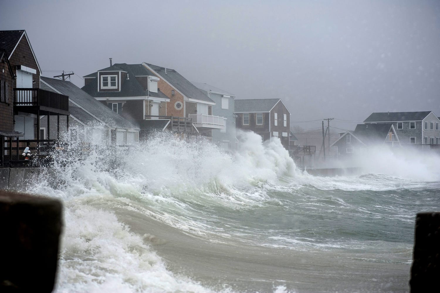
Forecasters refer to the storm that is wreaking havoc across broad portions of the United States and Canada as a “bomb cyclone.” Although this kind of storm is not particularly uncommon, it is highly powerful and has high winds that are dumping a lot of snow or rain in several places.
When a mass of low-pressure air collides with a mass of high-pressure air, storms may result. Winds are produced as air moves from areas of high to low pressure. How quickly the pressure in the low-pressure mass drops—by at least 24 millibars in a 24-hour period—defines a bomb cyclone. The gradient, or difference in pressure between the two air masses, grows rapidly, as a result, strengthening the winds. Bombogenesis is the name for this rapid intensification process.
The conditions for a bomb cyclone have been met as frigid air from the meandering polar vortex met unusually warm air to the east
The spinning of the Earth produces a cyclonic effect as the winds blow. The Northern Hemisphere’s direction is anticlockwise (when viewed from above). The National Weather Service’s John Moore, a meteorologist, claimed that above the Great Lakes, where arctic air from the meandering polar vortex met extremely warm air to the east, the prerequisites for a bomb cyclone had been met.
While it was as high as 1,047 millibars elsewhere, the air pressure decreased to at least 962 millibars here. He said, “It’s a fairly severe gradient.” The Arctic front, the boundary between the two air masses, is moving north and east, which should continue to move the conditions for bombogenesis, according to Moore. However, when the Arctic air moves through the majority of the nation, it will gradually warm and the pressure differential will disappear. It will stop being a storm. And next week, according to forecasts, most of the country will see above-average temperatures.


