


The NASA Landsat 9, launched on September 27 is a new aid for scientists. NASA’s new eye in the sky will help researchers study climate change.
What’s special about NASA’s Landsat 9?


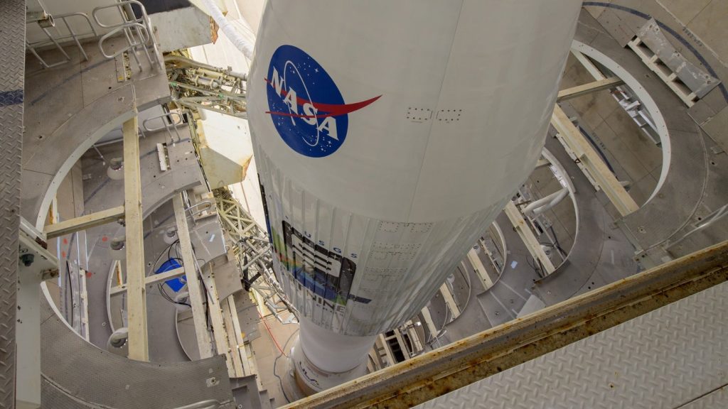
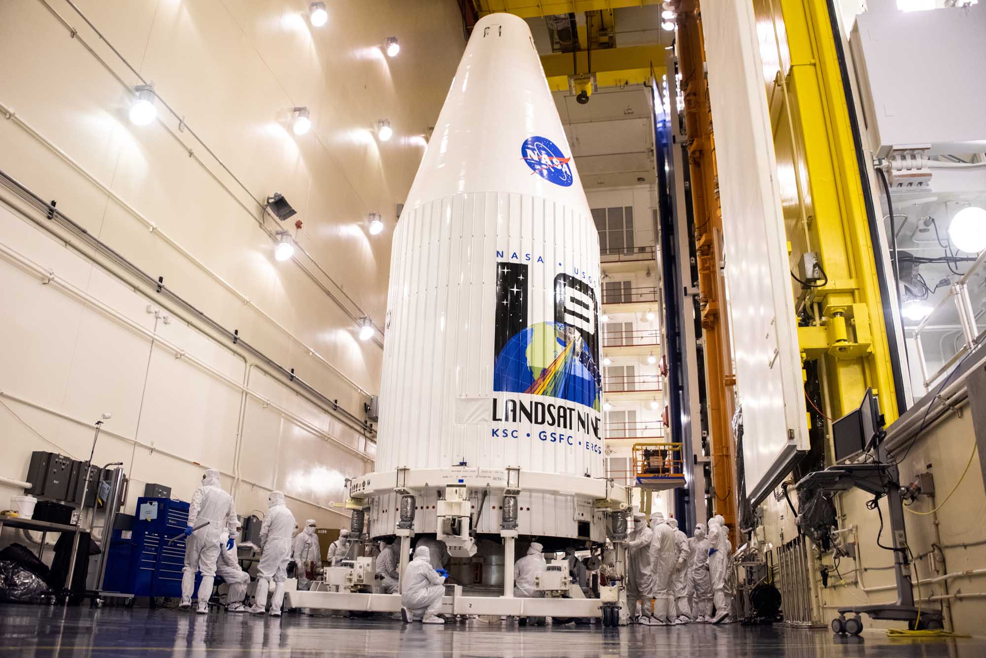
NASA launched a brand new satellite on Monday from California’s Vandenberg Space Force Base. The NASA Landsat 9 is not just an earth monitoring satellite but also a joint mission between NASA and the US Geological Survey (USGS). Moreover, Landsat 9 can perceive shades with greater depths than the previous generation of satellites.
“Landsat 9 will be our new eyes in the sky when it comes to observing our changing planet. Working in tandem with the other Landsat satellites, as well as our European Space Agency partners who operate the Sentinel-2 satellites, we are getting a more comprehensive look at Earth than ever before,” said Thomas Zurbuchen, NASA’s associate administrator for science. “With these satellites working together in orbit, we’ll have observations of any given place on our planet every two days. This is incredibly important for tracking things like crop growth and helping decision-makers monitor the overall health of Earth and its natural resources,” he added.
More on the ‘new eye in the sky’


The first satellite in this series was launched in 1972. Since then the group of satellites has collected images of the planet. The images are helping researchers understand land usage and how it is changing for several decades. Researchers can now capture more details about changes on planet earth.
The satellite can capture the whole earth in just eight days. Aboard the Landsat 9, there is an Operational Land Imager 2 (OLI-2) and Thermal Infrared Sensor 2 (TIRS-2). These instruments are vital for measuring the wavelength of light reflected from the Earth’s surface. The OLI-2 can see more light than we can! After all, it can capture short waves, ear-infrared and visible rays.


The images clicked by Landsat are available in a public database since 2008. It has helped researchers, seismologists, glaciologists, farmers, and policy analysts across the world. Additionally, these images are also used to study coral reefs, the health of forests, melting glaciers, and monitoring water quality.